We may earn money or products from the companies mentioned in this post.
Note: This is part 10 of a continuing series. Up until now, I’ve been making an old post public each time I posted a new installment for Patreon patrons, but the latest post (Part 14) is the final article about the Khezvaros world map. I’ll release one of the remaining installments out into the wild on an unspecified and probably irregular schedule until they’re all outside of the paywall. If you don’t want to wait, become a patron! You can find out more about Khezvaros, The City of Ten Thousand Daggers, at World Anvil.
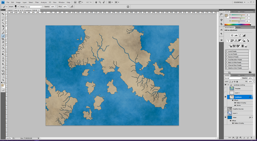
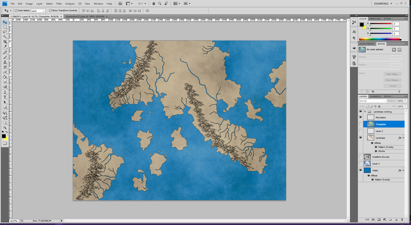
Hey guys, remember that map I was trying to make? After several months, I finally got back around to working on it. If you recall, last time around I added rivers to the landmass, ending up with a map that looked like this:
The next step is to put some topography on those big, flat hunks of land. A couple of years ago I bought some Photoshop cartography brushes, so I figured I’d give them a try. The mountains and hills stage follows a lot of the same basics as the rivers stage. First, I go to my land layer and select the not-land parts then invert the selection. This gets all my land selected so that anything I draw will get cut off at the coastline and I don’t have to worry about mountains in the water or whatever.
Next, I turn on my template map layer with a lowered opacity so I can see where the mountains were on the software-generated version. Then I create a new layer called Mountains and start using my brushes to draw some mountains over the ones on the template.
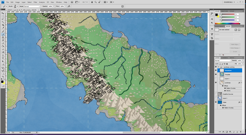
There’s a lot of experimentation here. The icons are too simplified to really see what a particular brush will look like until you use it, so I spend quite a while figuring out what each brush looks like, how to fit them together without too much overlap or space, and how to place them so they look halfway decent. After some playing around (and multiple complete restarts), I get my three mountain ranges looking presentable.
Now that the mountains are built, I follow the same process with hills (using a new layer so I don’t lose the mountains if I go beyond the point of “Undo Again.” After even more restarts, I end up with this:
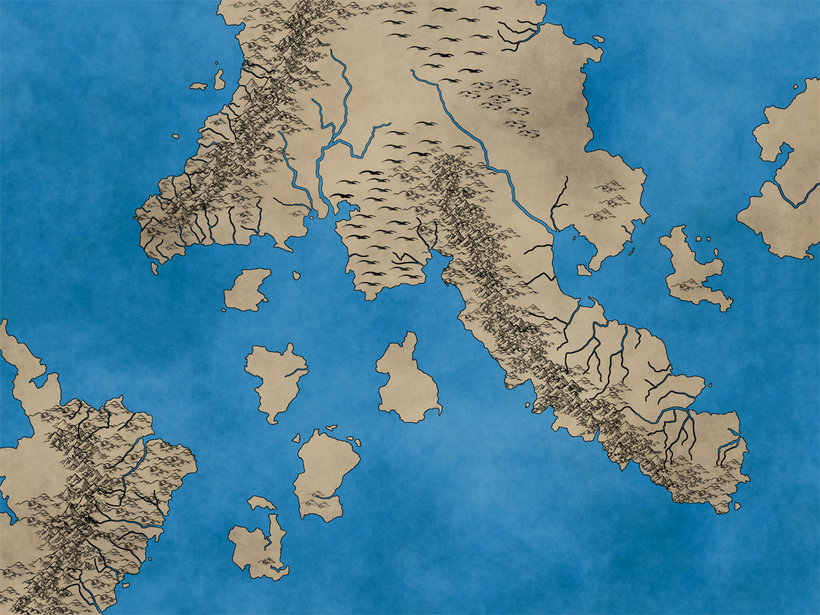
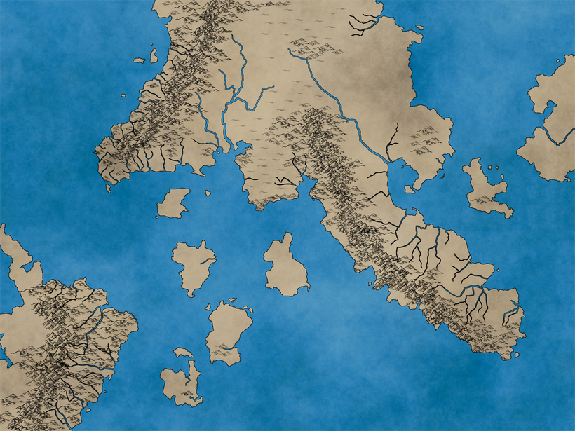
Not terrible, but I really don’t like the hills once you leave the foothills of the mountains. Part of it’s because I didn’t arrange them very well, but also they’re just too dark. I try changing the opacity and they look better when they’re not at 100%, but since they’re on the same layer as the foothills that makes them look weird. So I erase all the “gentle hill” symbols and try them again on a new layer. This time I leave out the dunes–I’ll mess with those when I figure out how I’m identifying the desert. When I drop the opacity of the second hill layer, the map looks better. I might end up lowering the opacity of the other mountains and hills (though not as much) later on in the process.
My next step will probably be editing the rivers so they’re going around and behind the hills and mountains rather than through them. That sounds like it could get tedious, so I’m going to save it for next time.