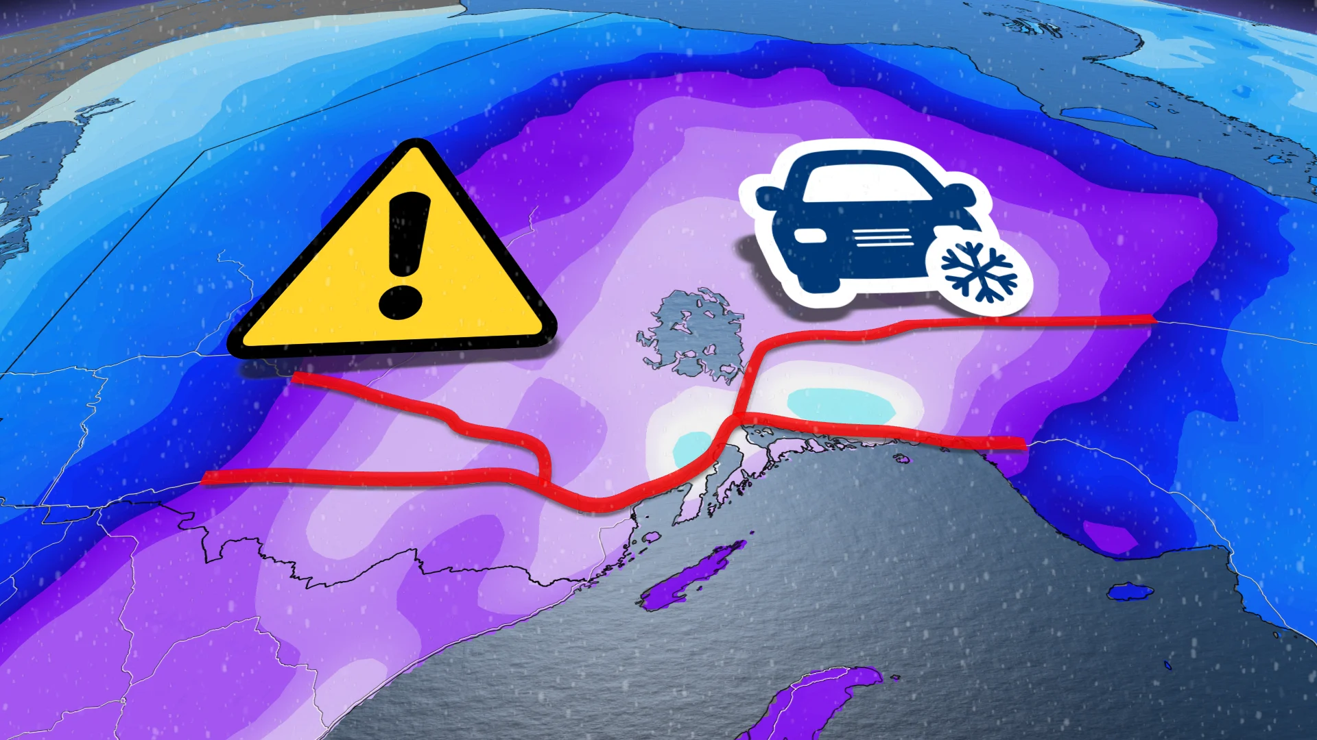
Up to 50 cm possible in parts of northern Ontario amid marathon snowfall event
Tuesday is expected to be the worst day of a prolonged snowfall event in northwestern Ontario, with an elevated risk of road closures as travelling becomes more dangerous. Some areas could see 40-50+ cm of snow through Wednesday
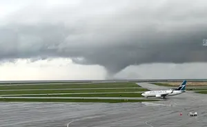
Northwestern Ontario is getting a good reminder why spring is such a transitional season, and why snow and cold weather can linger through March and April.
A nearly stationary low-pressure system is taking its time to move through the region, allowing for heavy snow to stick around for multiple days this week. By the time it wraps up, as much as 40-50+ cm of snowfall could pile up in some areas over a 48- to 60-hour period.
Going somewhere? Check out the current highway conditions before heading out!
Much of the region is covered in winter storm and snowfall warnings, plus winter weather travel advisories and special weather statements.
Road closures are quite possible as travelling will be rather hazardous, especially on Tuesday. Consider postponing non-essential travel until conditions improve. As well, take frequent breaks and avoid strain when clearing snow.
Through Wednesday: Snow intensifies for multi-day spring storm
This latest bout of disruptive weather arrives courtesy of a Colorado low slowly tracking across the region.

We’re looking at the potential for 48 to 60+ hours of snowfall across much of northwestern Ontario. Residents can expect periods of snow to continue straight through the day Tuesday before the system finally pulls away and tapers off on Wednesday.
The heaviest snows will arrive during the day Tuesday, as the storm reaches peak strength and snowfall rates approach 1-3 cm per hour north of Lake Superior.
STAY SAFE: Be aware of your heart while shovelling heavy snow

In addition to the snow falling, gusty winds between 40-60 km/h will lead to blowing snow and poor visibility on Tuesday, especially near the Lake Superior shores and during periods of heavy snow.
The sheer duration of snowfall expected throughout the area will contribute to the impressive snowfall totals forecasters expect through Wednesday.

Some areas may see as much as 40-50+ cm of snow by Wednesday, including Thunder Bay.
This will be a heavy, wet snow for many communities. Please use extra care while shovelling over the next few days.

There remains some uncertainty in precise totals, though, as some models show the potential for even higher totals near the shores of Lake Superior. On the flip side, a small westward shift in the storm’s track could bring milder air into the region. This would force rain to mix in at times and reduce snowfall totals.
DON'T MISS: Canada’s widespread drought may fuel the upcoming wildfire season

Regardless of the final totals, travellers can expect treacherous road conditions during the storm, especially along the Trans-Canada Highway and Highway 11. Road closures are a real possibility, as well as the closure of schools and businesses. Consider postponing non-essential travel until conditions improve.
Deepest seasonal snowpack likely for Thunder Bay

Thunder Bay is one of many communities across Canada affected by a snow drought this season. The city witnessed a rare green Christmas in December 2023, and the deepest snowpack at the airport only amounted to 25 cm at the end of January 2024.
The onset of spring is no match for a far-reaching storm. Early spring storms can generate more bountiful snows than their mid-winter counterparts because of the abundance of tropical moisture surging north out of the Gulf in March and April.
Be sure to check back for the latest weather updates across northern Ontario.